Why Floods Follow Wildfire and How Drones Contribute to Damage Mitigation

After another long summer of hot, smokey, wildfire riddled days, fall is finally here and the flames have (mostly) settled, but there is a chance we are not out of the clear just yet. Where fires burn, floods often follow.
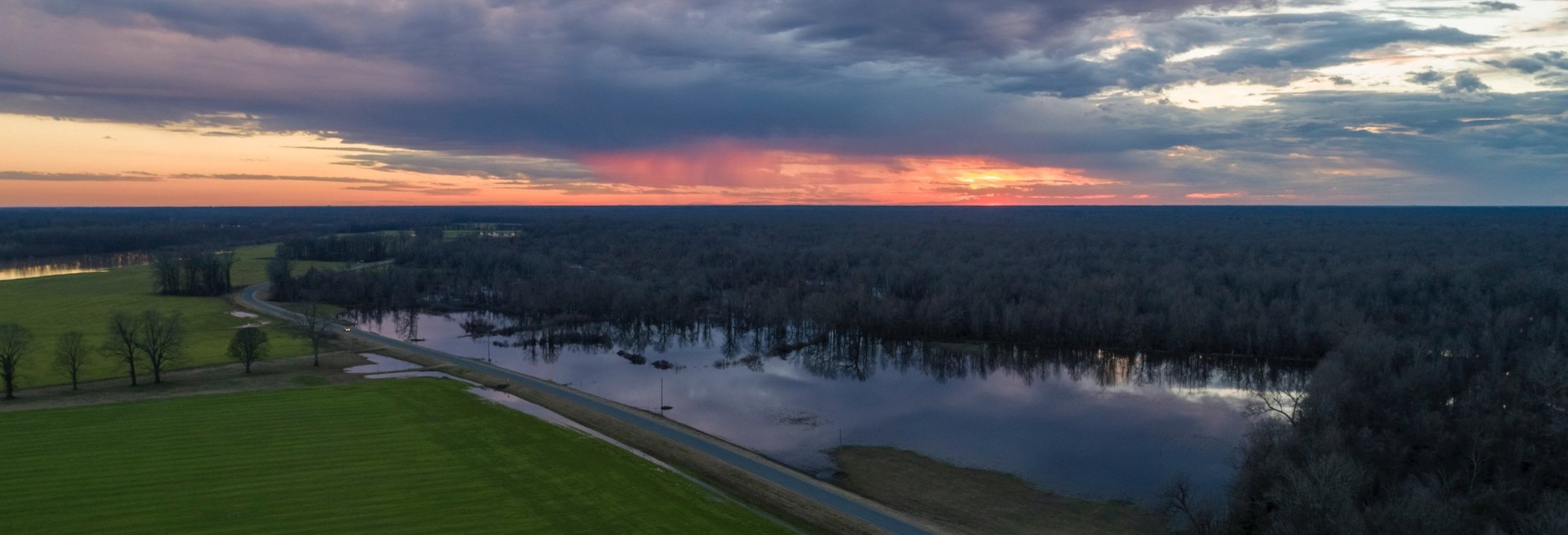
Forest fires and floods
In a healthy forest, the components that make up the forest floor typically protect the surface soil and significantly reduce the possibility of erosion. A healthy forest floor can hold large amounts of water and release it slowly, allowing the mineral soil to absorb it steadily.
However, when these fundamental elements are consumed by wildfire, the soil is left unprotected and unsupported, increasing the susceptibility to erosion and exposure to heating effects. Heating effects refer to the changes in soil’s physical and chemical properties resulting from exposure to extreme heat. This is why a clear historical pattern emerges, with devastating floods often following in the wake of a severe fire season.

What isn’t consumed by wildfire, such as ash, debris, and eroded soil, can find its way into waterways, causing significant blockages that exacerbate flooding. As a result, areas located downhill and downstream from burned areas are typically highly susceptible to flash flooding and landslides or mudslides. However, this isn’t always the case. In instances where the burn is less severe and part of the forest floor remains in place, it can act as an insulation layer that protects the soil from any heating effects. This protective function is supplemented by any debris from fallen trees to form what is called a litter-mulch layer, which also provides protection against larger-scale erosion leading to landslides.

While visible destruction and disruption from wildfires can be spotted in forests and towns across Canada, there is also an unnoticeable level of damage going on below the surface of the soil which arguably poses an even bigger risk for flooding: hydrophobic soil.
Fires that burn long and hot vaporize and diffuse hydrophobic (water repellent) substances like waxes and lipids that are naturally found in the soil, normally in inconsequential amounts. These diffused particles then spread and settle, covering a larger surface area. When the temperature of the soil begins to return to normal, the diffused hydrophobic particles condense and coat the mineral soil particles, reducing the amount of water the soil is able to absorb. This water repellency can last for 2-6 years after the initial fire. The hydrophobic compounds are eventually slowly broken down by rain but can take a significant amount of time depending on the severity of the burn.
How are drones helping in flooding emergencies?

It is up to emergency service operations to be aware of these trends and do what they can to plan ahead when it is likely that one natural disaster is laying the groundwork for another. Drones happen to be a great way to do that.
Drones are an indispensable asset in any emergency situation. Hummingbird Drones is well established in the wildfire industry and has years of experience and thousands of hours logged flying over fires to help map hotspots for the wild land firefighters. You can learn more about how drones are being used on the fire line in our previous post about Drones and the Environment.
High quality drone footage can provide emergency responders with critical information quickly and efficiently, and in remote and hard to reach locations. Often, authorities only have access to out of date information during a crisis, leading to inaccurate predictions, models, and decisions.

Here are 3 examples of how drones contribute to emergency response operations:
An aerial perspective can help identify safe zones, evacuation routes, or high risk areas. This is useful for focusing evacuation efforts or finding people who have been trapped by water and determining the best way to rescue them.
Resources can be allocated accordingly to areas affected the most which helps communities recover quicker.
Having recorded footage of areas before, during, and after flooding is super helpful for researchers to understand flood risk and flood behavior and be better prepared for future floods.
a.) This footage can also be used in insurance claims and disaster relief funding.
How can you help?
During any emergency event (floods, wildfire, search and rescue etc.), it is crucial that the public do not fly drones in the area. Doing so is not only highly illegal but also can disrupt the work of emergency personnel. Interfering with these services can complicate their mission and potentially put more people at risk. For example, check out this CTV story from last September in Jasper National Park when a person was fined $10,000 for flying their drone during helicopter fire fighting operations.
Without directly participating in emergency operations, members of the public can make a significant contribution to flood disaster mitigation by gathering data before and after the flood, once the emergency services are no longer operating there. By collecting imagery or maps from both before and after the flood, valuable information can be compiled, aiding in the prediction of flood patterns and enhancing preparedness for future emergencies like landslide damage mitigation and assessment.
If you want to fly drones, collect data, and help out, sign up for one of our courses to get started and learn even more about how drones are used in emergency response operations!
Happy and safe flying!
-FlySmart Team